Greenhouse data for urban space: LowCarbonCityLab (LoCal)

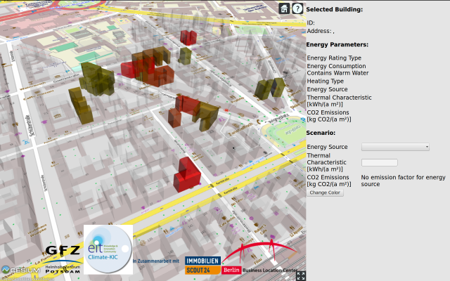
Emissions in the third dimension
With a 3D map researchers make greenhouse gas emissions in cities visible
What is the climate record in German big cities compared to other international metropolises? Which parks and green areas reduce the CO2 footprint? In the future, a 3D map will show where high carbon-dioxide emissions arise in cities and where it is worth cutting costs. To this end, the Helmholtz Centre Potsdam - German Research Centre for Geosciences GFZ and international partners from business, industry, and cities is integrating statistical data into three-dimensional models. The basis, for example, are energy consumption and the CO2 emission factor, which indicates the climate compatibility of electricity and heat generation.
Ausgezeichnete Orte 2016
Helmholtz-Zentrum Potsdam – Deutsches GeoForschungsZentrum GFZ
Telegrafenberg
14473 Potsdam
Brandenburg

