Satellite technology for agriculture

Green thumbs from space
A parent company evaluates satellite data designed to help farmers to have better harvests
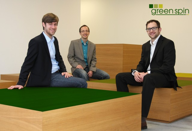
From an altitude of 730 kilometres, agriculture can be practiced with the utmost precision. Satellite photos provide images of different crops, which reflect sunlight differently depending on growth and type of fruit. In conjunction with regional climate data, the Würzburg-based company green spin evaluates these photos on a computer and creates a harvest growth model. The model is used to make forecasts for farmers, who thanks to this service can grow crops more efficiently and adhere to environmental regulations better.
Ausgezeichnete Orte 2014
green spin UG (haftungsbeschränkt)
Josef-Martin-Weg 54/2
97074 Würzburg
Bayern

