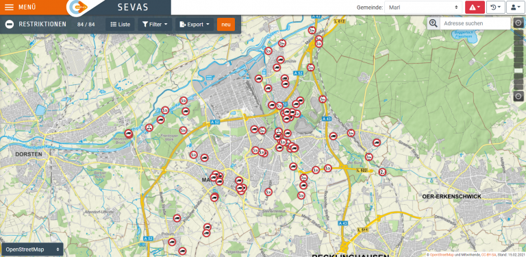
HGVs choosing unsuitable roads present an increasing problem for cities and municipalities. The web-based software SEVAS aims to remedy this situation. It collects data on traffic-relevant HGV restrictions, such as transit bans or limitations on height, width and length, and makes them available in digitalised form to navigation services-providers. Municipalities can also define a truck-priority routing network. A specially developed app, based on AI-supported and automated traffic-sign recognition, is used to support data collection.
The position of the traffic signs is determined via GPS and located in the system. Municipalities will be able to digitise their traffic signs on site. The data collected will be made available to every navigation-service provider via the mobility data-marketplace MDM, a national access point for traffic data, and the portal Open.NRW. Truck drivers will thus receive information on their navigation devices and be guided along the most ideal route.


